

TRAFFIC MANAGEMENT
Aim
Our aim is to manage the delivery of the Scheme’s construction works with minimal impact on traffic, pedestrians, households and businesses within the town.
However, the Hawick Flood Protection Scheme is, by any standards, a major construction project and it is inevitable that it will involve some disruption to traffic and pedestrians. We are committed to keeping road and footpath users up-to-date with the latest information on road works.
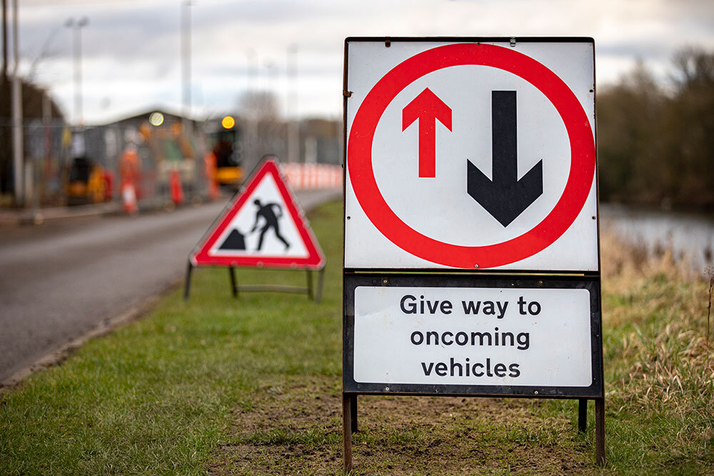
Extensive signage will be placed around the town to help drivers identify any diversions that are in place.
Decisions on the most effective way to manage traffic during the construction works have been achieved in partnership with the statutory traffic authorities (Scottish Borders Council, Transport Scotland and emergency services) and with local community traffic management working groups.
COMMUNICATION CHANNELS
There are a number of ways you can keep in touch with the latest traffic management news.
This website and our social media channels are the “go-to” destinations for the latest traffic management information coming from the project.
Our quarterly newsletter also contains information on upcoming road and traffic issues.
As appropriate, public notices and letter drops to households and businesses in impacted areas will be employed.
Notices in the local press and media will also feature, so keep an eye out for these as well.
Any issues relating to the A7 trunk route (which includes Commercial Road) will also be displayed on Traffic Scotland’s website.


Current Traffic Information
There are currently no impacts on traffic management due to Scheme works.
Pedestrian Diversions
There are currently no impacts on pedestrian routes due to Scheme works.